Canary Islands villages -Tenerife's Teno Alto is an "easy stroll"
Walking to Teno Alto
Teno Alto is, as the "alto" part of its name suggests, high in the Teno mountains in the north-west of Tenerife in the Canary Islands. Being in one of the most remote parts of the island there are no buses that go there on the steep road with many a hairpin bend. So if you don't go by car or bike the only way is to walk.
There are several footpaths that lead to the village of Teno Alto but some of them are a very difficult climb, especially in hot weather, as I had previously discovered. But I needed to return to the village to investigate a potential pyramid there, and to search for caves and a "bailadero" (dancing and meeting place), once used by the Guanches who were the original inhabitants of Tenerife before the Spanish Conquest long ago.
Photos of Teno Alto
From Degollada de la Tabaiba to Teno Alto
I had got to Teno Alto once before by walking uphill on the footpaths from El Palmar which is a village at the bottom of the valley. The road from Buenavista del Norte to Masca and Santiago del Teide passes through El Palmar and buses run that way. I do a lot of exploring Tenerife by bus and walking after I get off.
However, no buses run to Teno Alto and that was why I followed the footpaths. They lead over mountains and through dense forests and the walk was mainly uphill and a long one. By the time I finally made it to Teno Alto all I wanted was a cold beer and something to eat.
Although I had seen a pyramid-shaped hill a few hundred yards away I was too tired to investigate at the time and saved my energies for getting back to El Palmar.
My friends Andrea and Jack Montgomery had a good photo of the potential pyramid too but they hadn't got any closer to it than I had done because when they had been to Teno Alto they had been too tired too.
I had discovered on a map that there were caves in the area and a part of it is called El Bailadero. This suggested to me that the area of Teno Alto was once inhabited and used by the ancient and mysterious Guanche people. There are other pyramids on Tenerife, and some people feel that these constructions were made by the Guanches. If the Teno Alto pyramid was a proper stepped pyramid it would be more evidence in support of the idea.
Back in the summer I had tried an alternative route from the road that leads to the remote Punta de Teno far below Teno Alto on the coast. I had already walked uphill from Buenavista and through the long tunnel you have to get through and by the time I started to climb the footpath I was already tired, hot and running short of water. I ended up giving up that time.
I had also found yet another footpath from Casa Blanca, a large house further back along the road to Buenavista. The signpost said two hours walk and it was clearly all uphill from there.
I got talking to my friend David Parkes about Teno Alto and he hadn't been there so we decided we would walk there together but still needed a route. In Dr Molls Walking Map Tenerife a path is described that leads from Degollada de La Tabaiba, which is a point on the road from Buenavista to Masca and is above the villages of El Palmar and Las Portelas. The guide pamphlet says it is an "easy stroll." We decided to find out if this description was true.
There are buses that run along the road, which continues on eventually to Santiago de Teide, but David has a car and we decided we would use it to get to our starting point. The weather forecast was for 20% precipitation but as we had had to cancel a previous attempt due to bad weather we thought we'd chance it.
After parking the car we set off through the mountain scrub-land of tabaibas (euphorbia/spurge bushes), rockroses and tree heather. Euphorbias have toxic white latex sap in their stems and leaves, so in answer to the question of if euphorbias are dangerous the answer would be yes, if they are ingested. Some of the pathway was quite steep in places and I commented that I knew people who wouldn't agree this was "easy" but David and I had no problems with the climb that took us to a high point known as Baracán.
There are great views over the surrounding mountains and valleys. It is really spectacular countryside up on the Teno Massif mountain chain.
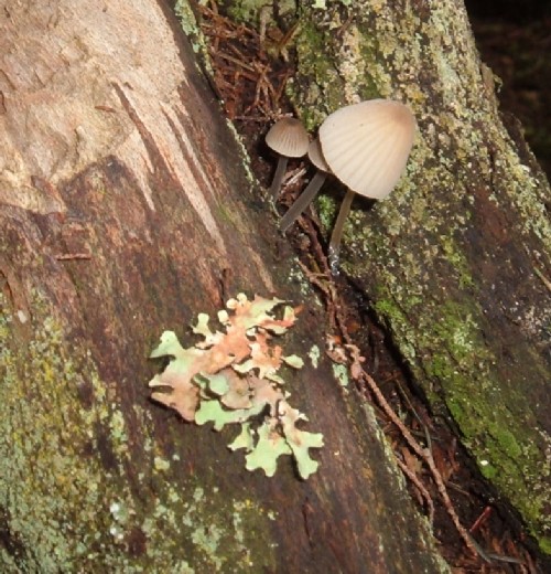
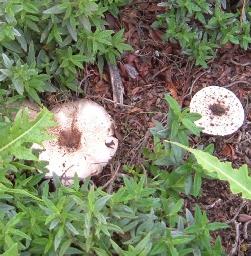
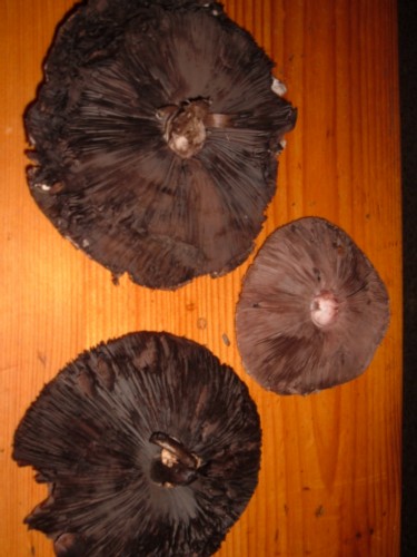
I spotted some wild mushrooms and we stopped to gather them. A bit later on I found an earth star fungus too. It was well past its prime though and was a mouldering brown mass of spores in what was left of the star-like cup.
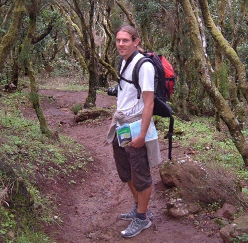
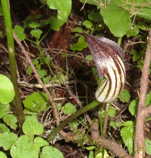
Eventually we were descending into a forest of heather trees, known as "brezo" in Spanish, and "laurisilva" laurel forest. We found all sorts of wild flowers, fungi and ferns. We chatted about the Guanche people and what they might have once found in the area when doing a spot of hunting and gathering.
We had already collected some edible mushrooms and I pointed out several plants you can eat too., and herbs such as St John's Wort. I explained to David that you can make a good herbal tea from the tree heather leaves and twigs and that it is a traditional usage for the tree.
The trunks that twisted and twirled their way upwards were often coated in lichens, mosses and with bracket fungi and tiny toadstools sprouting from them. Some had ferns growing on them too. One species we saw - Davallia canariensis - is said to have been used by the Guanches who harvested its rhizomes and ground them into flour for the "gofio" mixed roast flour they made as a basic food staple.
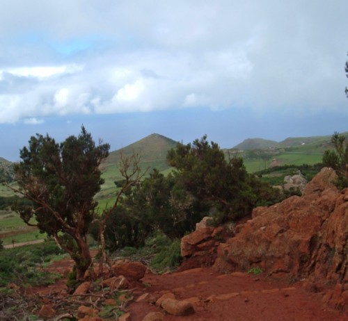
At last we left the forests and emerged through a path that went through red rocks and earth. It was in sharp contrast to the greenery we were leaving and the green fields and hills we could see ahead.
Degollada de la Tabaiba to Teno Alto and Punta de Teno walk
Mushrooms
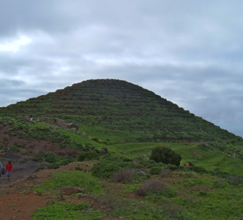
The pyramid that was really a mountain
"Civilisation again," I said as I looked at a proper pathway and buildings ahead. As we made our way down a hilly track of red earthen steps we ended up on the pathway and road that led past the Casas de la Mesita and into the village of Teno Alto.
We had a look at the square and the little church. We wandered around just outside the village looking for a "bailadero" and found a spot that was fairly flat that might have been where the Guanches once held their celebrations.
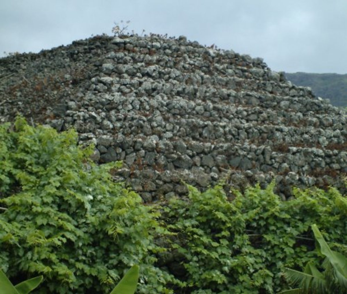
We walked on in the direction of the 'pyramid' and on getting up close could see clearly that it is in fact a volcanic mountain that has been terraced. It was covered in grass and wild plants. There were no stepped sides made of rock like the other pyramids of Tenerife.
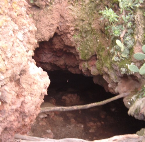
So I had to admit it was no good to back up the theory that the Guanches made these strange constructions. We went to look for some caves and found some that had been modified and were probably once used as houses or storerooms, and a proper cave in the Barranco de las Cuevas ("Ravine of the Caves)".
There was a stream running down the rocky sides of the barranco and I said I thought it could well have once been a place where the Guanches lived. They are known to have camped and settled alongside water-courses here because water is rare on the island.
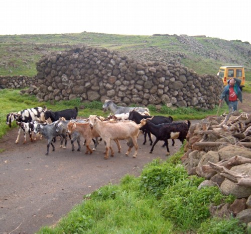
After enjoying looking at a flock of goats and watching the local goat- farmer take his animals out to graze we made our way to one of the two bars for a well earned cold Dorada beer. It looked an idyllic life the goat-herder had but David pointed out that it is actually a lot of hard work what with milking them all daily and an early rise each morning.
The "bruma" clouds were coming down and we both knew it would be wise to be making our way back from this very charming country village. The mists can come down fast here and it gets cold and damp when they do. We had avoided the "20% chance of precipitation" but didn't want to get soaked by the clouds.
Going back up the red earth steps part was a lot harder than coming down them but once over that part I found the walk back to where we had left the car definitely an "easy stroll," although I think the beer helped!
Map showing Teno Alto
Teno Alto and Tenerife pyramid hub links
- Trekking to Teno Alto in Tenerife's northwest
The Teno peninsula and mountain range provide some of the most beautiful and remote parts of the island of Tenerife.Situated in the extreme Northwest of the island much of the countryside is unspoiled because... - Pyramids of Tenerife
The word "pyramid" usually brings to mind Egypt but in actuality pyramids are found all over the world. There are many on Tenerife in the Canary Islands, although many a holidaymaker there never get to see... - The mysterious pyramids of Tenerife island
If I give you the word "pyramid" most people will think of Egypt or Mexico perhaps, but these ancient and mysterious buildings are found all over the world in many different countries and locations... - The road to Punta de Teno
Punta de Teno has a lighthouse on it and is a remote and windswept part of Tenerife's north-west. It is where the south and north dividing line is placed. The Teno region consists of many high mountains...
© 2010 Steve Andrews
